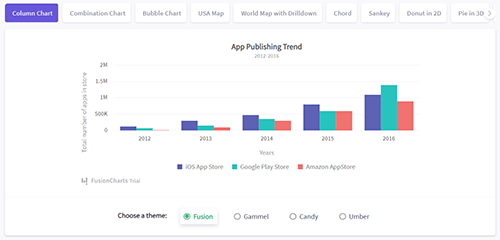
100+ Interactive Charts & 2,000+ Data-driven Maps
Get all the variations of popular charts like Bar, Column, Line, Area, and Pie; or domain-specific charts like Treemaps, Heatmaps, Gantt Charts, Marimekko Charts, Gauges, Spider Charts, Waterfall Charts, and many more! In addition to charts, we also have over 2000+ choropleth maps which cover countries, counties and even cities.


